Button CopyPathCircle CloseCircle Left ArrowArrow Down Icon GreyClosecirclecircleBurger
  • Advertising

0 Banks RD, Durham Bridge, NB, E6C 1H4

MLS® # NB131263
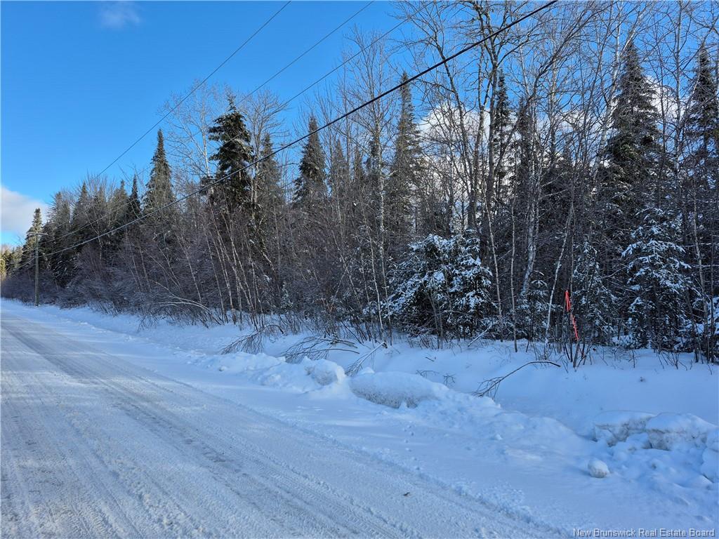
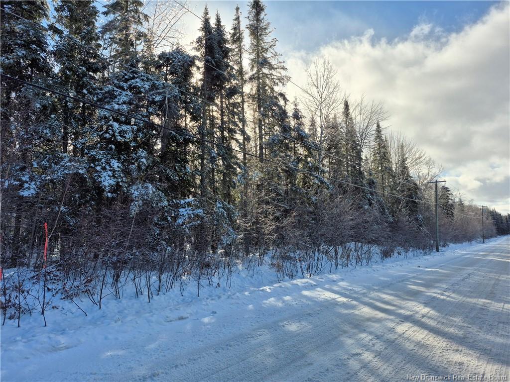
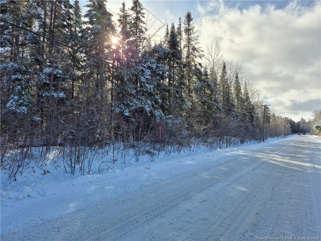
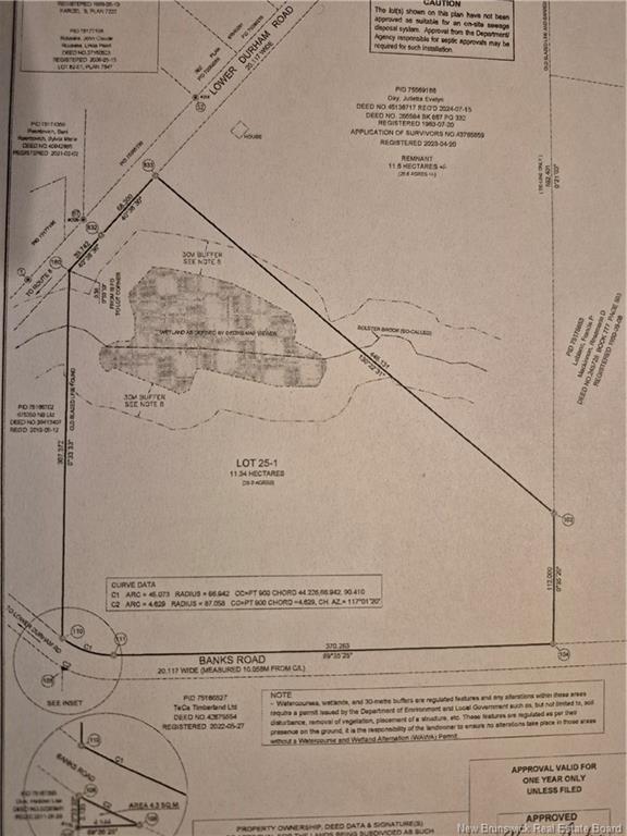
Vacant Land For Sale In Durham Bridge, New Brunswick
$149,900

None Beds

0 Banks Rd, Durham Bridge, NB
  • Advertising
0 Banks RD, Durham Bridge, NB, E6C 1H4
$149,900

Property Information:

Here is a great spot to build a home on 28 +/_ acres for privacy or a development opportunity.It is a treed lot with about one third of it being defined as Wetland.From the survey it looks like the Bolster Brook runs through the property closest to Lower Durham Road.There is possibly 1-2 building lots off Lower Durham and the rest would have to come off of Banks Road.Power line goes in front of the lots on Lower Durham Road.This lot was just created so it does not have an assessment or amount for taxes.Great location and is handy to some amenities,out door activites-golfing,trails and only 20-25 minutes to Frederiction.Highway access is not far away!

Property Features:

  • Driveway: None
  • Land Features: Stream/Pond, Wooded/Treed
  • Property Size: 10.0 - 49.99 Acres
  • Site Influences: Churches, Fishing, Golf Course, Recreation Nearby, School(s) Nearby
  • Title To Land: Freehold
  • Water: None

Courtesy of: Key Group Realty Corp.

Data provided by: Greater Moncton REALTORS® du Grand Moncton 541 St. George Blvd., Moncton, New Brunswick E1E 2B6
All information displayed is believed to be accurate but is not guaranteed and should be independently verified. No warranties or representations are made of any kind. Copyright© 2021 All Rights Reserved

Location of 0 Banks RD, Durham Bridge, NB, E6C 1H4

Climate Risk Data

About Climate Risk: Properties are at increased risk of damage from extreme weather due to climate change.
ClimateCheck provides detailed climate risk data for properties now and up to 30 years into the future.

Projected Heat Risk: Moderate-Low

27 hot days expected in 2050

Projected Precipitation Risk: Moderate-High

14 storms expected in 2050

Projected Heat Risk: Moderate-Low

27 hot days expected in 2050

39/100

Moderate-Low

ClimateCheck®

Current data

This property, 0 Banks RD , experiences 7 hot days per year at around 30.2 degrees Celsius.

Projected data

Severe heat risk is expected to increase in this area. In 2050, it is projected that there will be 27 hot days at 33.4 degrees Celsius.

Projected Avg. Temperature

Past
30.2℃
2050
33.4℃

# Hot Days Per Year

Past
7
2050
27

About Heat Risk

Heat risk is the number of extreme heat days experienced each year looking at historical conditions (1980-2005) in your area and taking the 2% of the hottest days and projecting that into the future.

Projected Precipitation Risk: Moderate-High

14 storms expected in 2050

76/100

Moderate-High

ClimateCheck®

Current data

This property, 0 Banks RD , experiences 11 significant 2-day storms per year, with about 389.6mm of precipitation per storm.

Projected data

Severe storms are expected to increase in this area. In 2050, it is projected that there will be 14 significant 2-day storms with 513.5mm of precipitation per year.

Precipitation Per Storm

Past
389.6mm
2050
513.5mm

48-Hour Storms Per Year

Past
11
2050
14

About Storm Risk

Storm risk is the number of high wind, wet or snowy events each year. Climate check looks at historical conditions (1980-2005) in your area, on the days with the top 1% of total precipitation in a year and projected to 2050.

Climate risk data is provided for informational purposes only on Royallepage.ca.
If you have questions or feedback about this data, get help at climatecheck.com.

Environmental Risks provided by ClimateCheck®

Royal LePage does not endorse nor guarantee this information. By providing this information, Royal LePage and its agents are not providing advice or guidance on climate risks. Royal LePage strongly recommends that consumers independently investigate the property’s climate risks to their own personal satisfaction.

Demographic Information of 0 Banks RD, Durham Bridge, NB, E6C 1H4

Life Stage

Families with Tweens

Employment Type

Blue Collar/Primary, Blue Collar/Service Sector

Average Household Income

$94,604.39

Average Number of Children

1.77

Household Population

Household Structure

Age of Population

Education

Education Level

No certificate/diploma/degree

18.6 %

High school certificate or equivalent

40.3 %

Apprenticeship trade certificate/diploma

12.63 %

College/non-university certificate

17.7 %

University Degree

10.77 %

Commuter

Travel To Work

By Car

96.84 %

By Public Transit

0.0 %

By Walking

0.42 %

By Bicycle

0.0 %

By Other Methods

2.74 %

Cultural Diversity

Knowledge of Official Language

Mother Tongue

Building Information

Building Type

Apartments (Low and High Rise)

Houses

100.0 %

Own Vs. Rent